Annapurna Circuit Trek
Region
Annapurna RegionDuration
16 DaysAccomodation
Hotel/LodgeTrek Style
ModerateMax Elevation
3800 mTrek difficulty
ModerateGroup size
2pax - 12pax + AboveBest months
September to December & March to JuneTrip starts/Ends
Kathmandu / KathmanduOverview
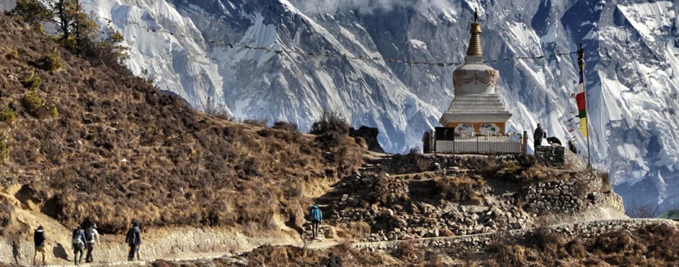
Annapurna Circuit Trek is one of the world’s classic and the most diverse trekking route. It is a dramatic trek around the mighty Annapurna range, a journey that is regarded as one of the top ten walks/Treks in the world. The 222-kilometre Annapurna Circuit trek, of the Annapurna massif offers a unique insight into the physical and cultural diversity of Nepal.
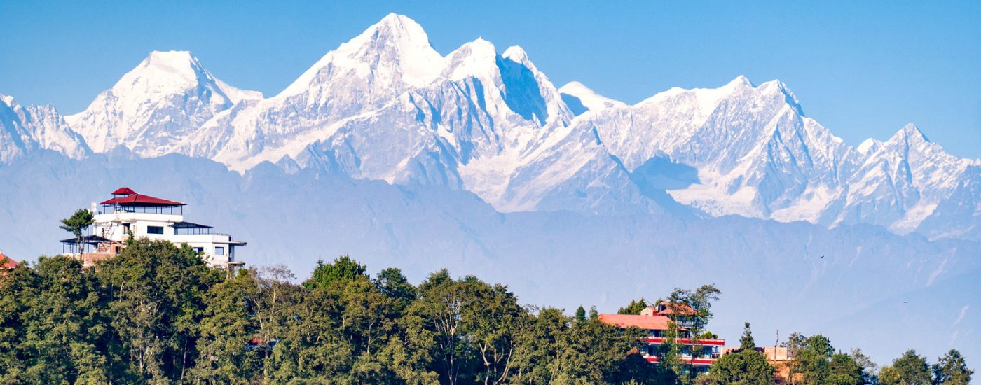
This is one of the classic and most rewarding treks in Nepal which circles the Annapurna massif, starting at either Bhote Order or Gorkha, west of Kathmandu and ending at Pokhara. For most of the trek we have close views of Annapurna , Dhaulagiri , and the magnificent Machhapuchre. The high point of the trek entails crossing of the 5416m/17,769ft high Throng La Pass , from the arid valley of the upper Manang, home of Tibeto- Buddhists, down to the Hindu pilgrimage site of Muktinath, and the Kali Gandaki valley, the worlds deepest river gorge, before heading down to Pokhara. Besides the mountain views, we encounter on this trek a variety of mountain communities of the Gurung, Manangi and Thakali people.
Trip Highlights
Treks starts with a long climb to Ghorepani and then drops into the world’s deepest gorge. Crosses the main Himalayan range to Tibet-like country in Jomsom.
Itinerary
Day 1
Day 2
Day 3
Besi Sahar to Bahundanda (hill of Brahmins) 1,310m.: Along the route the trail follows a stream and climbs to Denauti then over slippery rocks into the Marsyangdi Khola. Khudi, Bulbule, Ngadi, Lampa are interesting to see.
Day 4
Bahundanda to Chamje (1,430m) : The trek goes through beautiful scenery, beautiful waterfalls, forests full of birds and villagers occupied by Tibetan heritage tea houses. Guesthouses are available at Chamje.
Day 5
Chamje to Bagarchhap (2,160m) : It is a village of Tibetan architecture. A well-maintained Diki Gompa is a famous place to see.
Day 6
Bagarchhap to Chame (2,630 m) : This is a nice camping place and district headquarters of the Manang. Police check, School, Health Post, Post Office, Bank, Wireless Station are there with the facility of electricity. Annapurna II 7,935m, IV 7,525m, Langtang Himal 6,986m are visible.
Day 7
Chame to Pisang (3,190m) : The trail goes through a Khampa settlement known as Bratang which is now a daysabandones.
Day 8
Pisang to Manang (3,535m approx.) : A dry place known as Nyseyang 5,000,fertile for wheat, barely, potatoes, beams, horses are the means of transportation. Life standard is better at Manang Tilicho lake at 7,132m. Here one can buy medicines, trekking equipment and warm clothes if required.
Day 9
Rest at Manang: An acclimates day. There is a good opportunity to climb to the north ridge of the village for the view of Annapurna II & IV Glacier Dome and other excellent scenarios.
Day 10
Manang to Letder (Churi Latter): The Trail crosses a stream, climbs to Tengi and continues to Marsyangdi Valley, Gundahg, Yak Kharka and Letder is next to last shelter before the pass.
Day 11
Latder to Thorong Phedi : A wooden bridge at 4,310m is crossed to reach Thorong Phedi (4,420m). Sometimes snow can be block the pass. In such a situation this place is really crowded, Usually people schedule a 3 a.m. departure for the ascent on the pass, which is not necessary. The ideal departure is 4-5 a.m.
Day 12
Thorong Phedi to Muktinath (3,800m.) : During the bad season during Dec. to Jan. there are very few chances to cross Thorong La Pass due to the cold and unexpectable storm.
Day 13
Muktinath to Jomsom (2,713m.) : The trail descends to Jomsom, this is a nice place from where the trek can be shorten by flight. There is an airport at Jomsom for a flight to Kathmandu.
Day 14
Day 15
Day 16
Day 17
Day 18
Day 19
Day 20


